Part 3: Where are the starry night skies disappearing the fastest in Oregon?
DarkSky Oregon and volunteers support a network of Sky Quality Meters across the state which continuously record how bright and how dark is the night sky overhead. The data tell us which areas still have pristine night skies, which areas are polluted by artificial light, and which fall in-between. Because quite a few of the meters have been operating for two years or more, they also tell us where light pollution has been increasing – where the stars are fast disappearing – and where the night sky has been mostly unchanging.
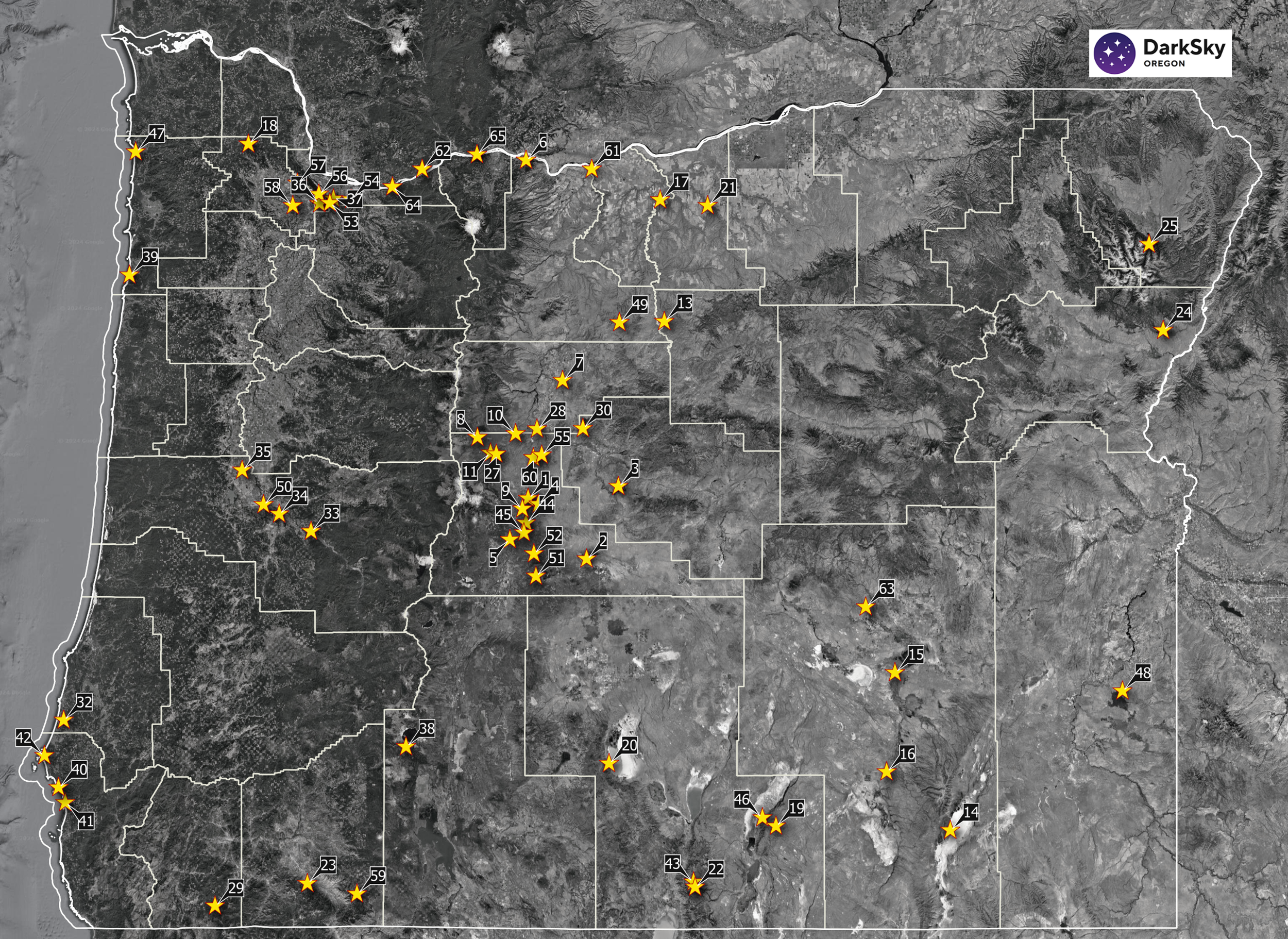
This map of Oregon shows the locations of our Sky Quality Meters that have been operating for at least two years. Large red diamonds on the map show a strong increase in light pollution overhead, year-by-year. The smallest red diamonds mark sites where no noticeable change overhead has occurred. Most of these sites, all of which have at least 2 years of data, are in Central Oregon because we started this as a pilot project there.


The table summarizes the long-term change information for these sites. The data show increases of 4% to 7% per year for SQM sites near cities. SQM sites away from cities show increases of 2% to 4% per year, while most remote sites tend to show little to no change in skyglow overhead.
It is traditional to quote the percentage change per year, but percentages are comparable to each other only when the starting point is the same. In our case, the starting points all differ – namely we have a range of night sky brightness – from pristine dark to light-polluted bright.
A better gauge is the change over time by comparison to one of the sites where change is slow. So, the first data column in the table shows the rate of change at each site by comparison to the Prineville Reservoir State Park site, which is a certified Dark Sky Park, and where we don’t expect much change in sky brightness. The rate of change at that State Park is given the value of 1.00 and the other sites vary by comparison. Most of the sites in Central Oregon are increasing about 10x faster than at the State Park. The size of the red diamonds in the map are scaled by this rate-of-change column.
As noted, the third column shows the annual percentage change for each site. Note that the percentage change at Prineville Reservoir State Park is estimated to be 0.2% per year, while the percentage change at the Hopservatory is about 7% per year. So, sites with bright, light-polluted, night skies (Hopservatory) appear to have less of an issue when the percentage statistic is used. In reality the rate of change is dramatically larger at the Hopservatory (174x), compared to the State Park site.
Support the effort to reduce light pollution.
Contact us at: hello@darkskyoregon.org
Key Results from the Oregon SQM Network: